
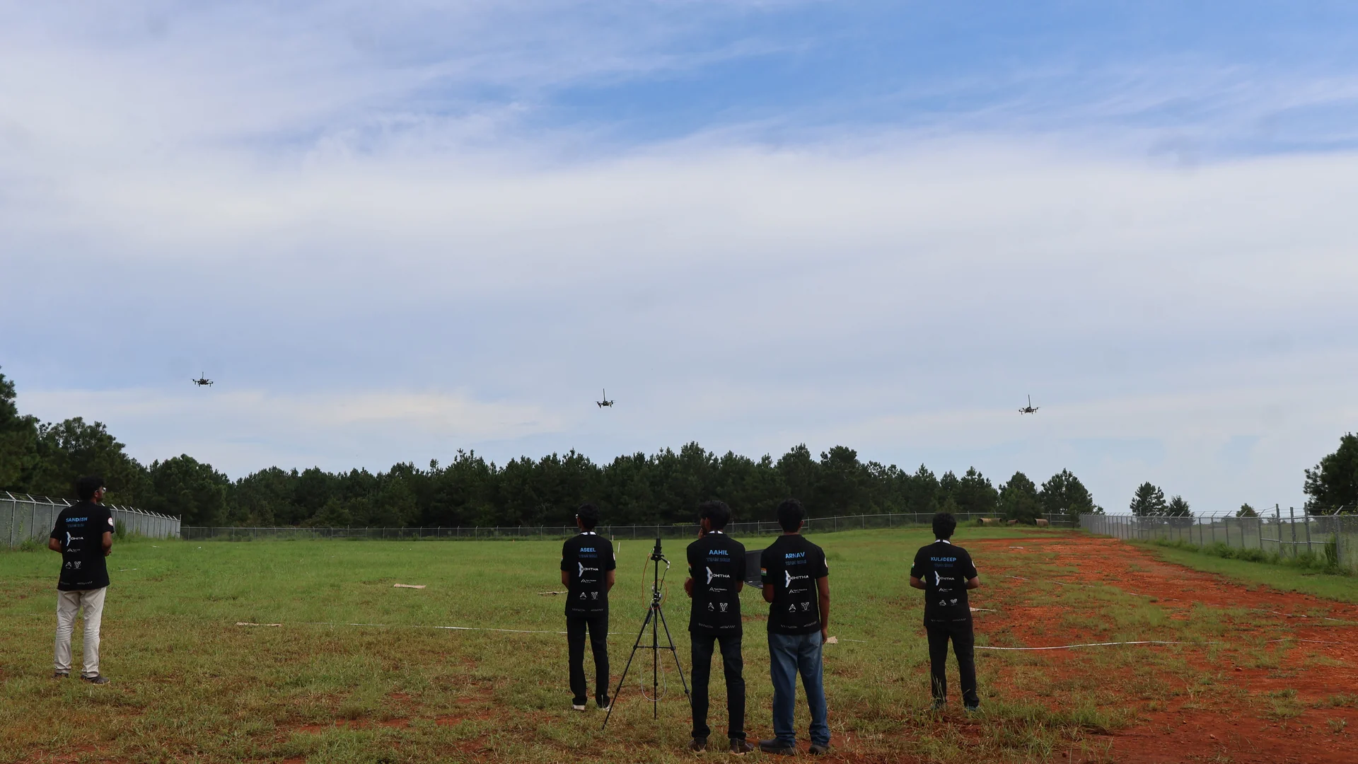
IARC 2026
Mission 10: cleared proof of autonomy. Three runs at Mission 10, a simulated minefield flown by a team of autonomous aircraft.
- Mission
- Mission 10, simulated minefield
- Date
- 12 August 2026
- Proof of autonomy
- Cleared (4 of 7 teams did)
- Runs
- Three
- Closest run
- One mine left in the path
- Full mission
- Not completed by any team
Mission 10: cleared proof of autonomy.
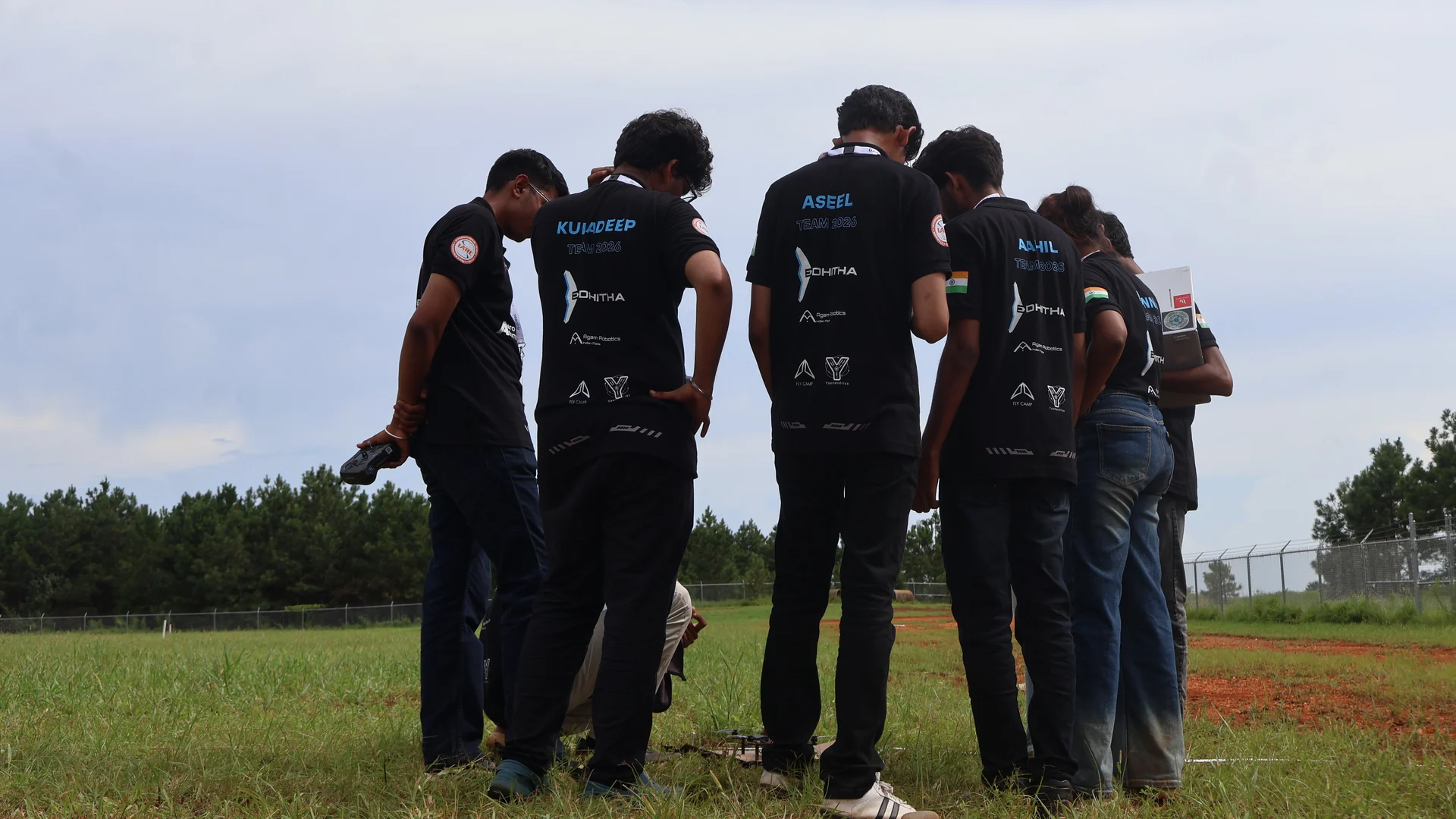
Edhitha UAS took part in Mission 10 of the International Aerial Robotics Competition on 12 August 2026: coordinated multi-UAV operation, environmental perception, threat mapping and safe-path planning, all in a simulated minefield.
We cleared the proof-of-autonomy stage, as four of the seven teams did. No team completed the full mission this cycle, so Mission 10 carries into the next year, and so does our work.
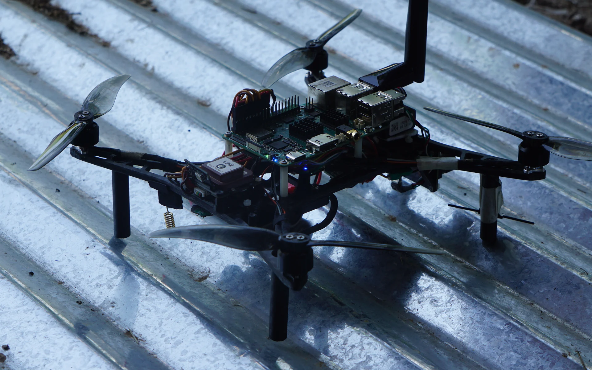
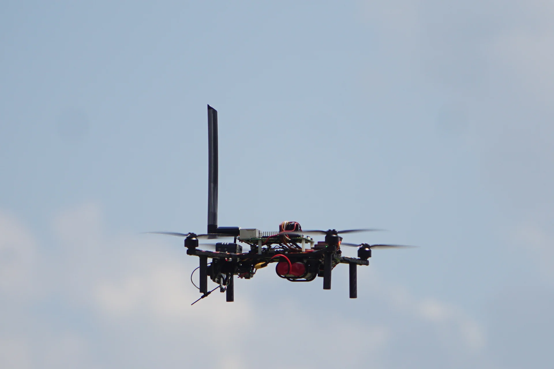
Autonomous take-off
A team of lightweight aircraft takes off on its own and heads for the minefield. No pilot from here on.
Survey
The field is split into lanes. Each aircraft scans one half of its lane on the way out, under strict time constraints.
Identify
A U-turn, and the other half on the way back. Threats are found and placed as the cameras pass over them.
Map
Back on their pads, the aircraft turn their observations into spatial information the mission can use.
Path
From that map, the system works out a path through the field.
Path delivered
The path is handed over. We were one of the only teams to give a path.